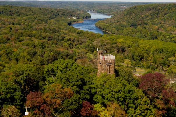


I needed to get a bird’s eye view of landmarks and points of interest in Bucks County. This is possible with technology using unmanned aerial vehicles, a.k.a., drones, but I wanted to show a different view of Bucks County by getting high in the sky while taking video, 360 Virtual Reality panoramas and photos of locations in Bucks County. Since some areas are no-fly zones for drones, the only solution to capture these images was to take them from a helicopter…